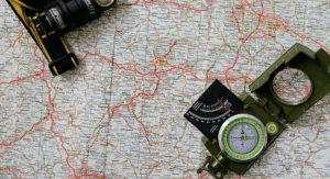
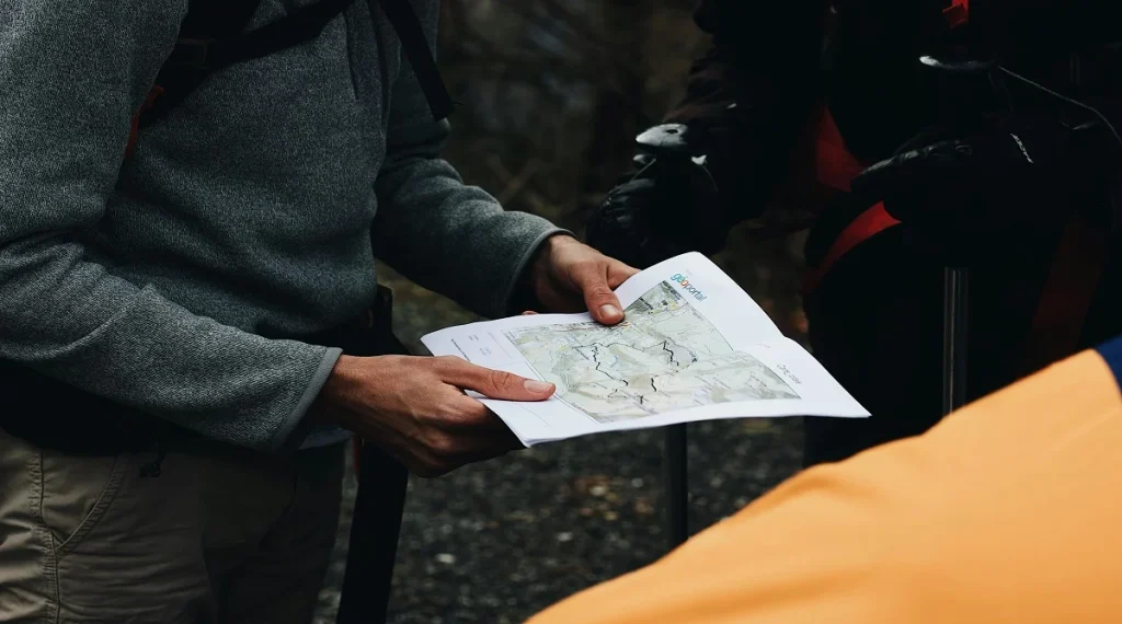
Trail maps can feel confusing at first for many hikers, especially when they include symbols, colors, contour lines, and place names that aren’t yet familiar. A map might seem straightforward while you’re looking at it at the trailhead, but once you try to match it to the actual landscape, it can quickly feel harder to follow. This is a normal part of learning how to navigate on the trail.
Outdoor navigation educators often explain that reading a hiking map is a skill developed through practice, not something you either have or don’t. Park staff also note that hikers tend to feel more confident once they stop trying to understand every detail at once. Progress usually comes from picking up a few practical habits that make trail route planning easier to follow.
Why trail maps feel confusing at first for new hikers
One reason trail maps feel confusing is that they turn a real landscape into simplified lines, shapes, and symbols. Trees, hills, trail junctions, streams, and parking areas are all represented in abstract ways. New hikers often expect the map to resemble what they see around them, and it can feel disorienting when it doesn’t.
Navigation instructors often remind hikers that maps aren’t meant to mirror the exact view. Instead, they’re designed to organize information so it’s easier to make decisions about where to go. Once that idea clicks, hiking map reading usually feels less overwhelming, because the map no longer needs to look like the real-world scene.
How route shape matters more than many hikers expect
Many new hikers focus mainly on trail names and miss how important the overall route shape can be. In reality, route shape often gives some of the clearest guidance. A loop, an out-and-back, or a lollipop route each creates a distinct pattern, and those patterns help you anticipate turns, returns, and key decision points.
Outdoor educators often suggest looking at the big picture first before getting caught up in small details. Trail route planning becomes much simpler when you ask a few basic questions: Does the trail double back on itself? Does it form a loop? Does it connect with several other trails? Seeing the overall structure can quickly reduce confusion.
Why contour lines make trail maps feel confusing at first
Contour lines are one of the most common sources of confusion for beginners. These lines show changes in elevation, but they’re not always easy to interpret right away. When the lines are close together, the terrain is steep. When they’re spaced farther apart, the slope is more gradual. This matters because the difficulty and time required for a hike often depend as much on elevation as on distance.
Fitness specialists and navigation educators often point out that contour lines explain why two routes with similar distances can feel very different. Once hikers start connecting those lines to the experience of climbing and descending, maps tend to become much more useful and easier to understand.
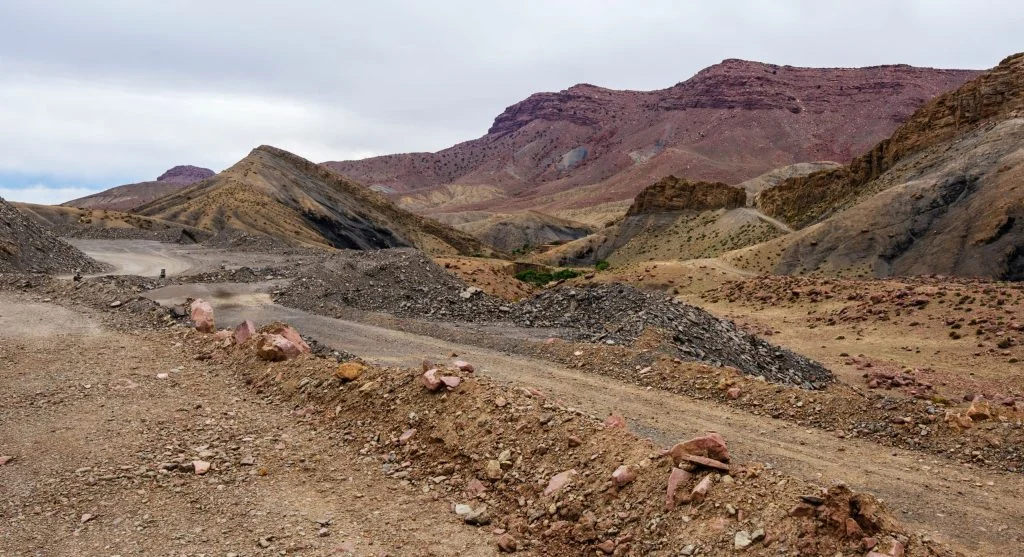
Credit: Maël BALLAND / Pexels
How map symbols on trails become easier to understand
Trail maps often include symbols for trailheads, water sources, viewpoints, campsites, roads, and junctions. At first, these markings can feel like extra clutter. With time, though, they start to serve as helpful reference points, making it easier to connect what’s on the map with what you see on the trail.
Park map designers usually keep symbols consistent so hikers can learn them through repeated use. Outdoor guides often suggest focusing on just a few key symbols at first—like the trailhead, junctions, and water features. Trying to understand every symbol all at once can make the map feel more confusing than it needs to be.
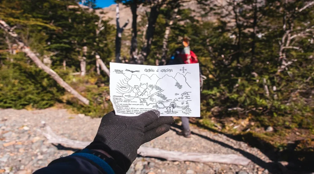
Why matching the map to the real trail takes practice
One of the more challenging parts of reading a hiking map is translating a flat image into what you experience while walking. A trail that curves on the map might feel almost straight underfoot. A stream marked nearby might not be visible yet. A junction that looks obvious on paper can feel easy to miss in real life.
Outdoor navigation specialists often explain that this skill develops gradually. Hikers get better by checking the map at simple, clear moments—like at the trailhead, before or after a turn, at stream crossings, or at viewpoints. Each time the map lines up with the landscape, it builds confidence for the next stretch.
How trail maps feel confusing at first when hikers check them too late
Timing is another common challenge. Some hikers only look at the map once they already feel lost, and by then, stress can make it harder to understand. Trail maps often feel confusing at first because they work best as tools to stay oriented, not just as a way to recover after taking a wrong turn.
Search and rescue trainers often recommend quick map checks before major junctions or after noticeable changes in direction. Looking ahead while things still feel clear helps prevent confusion from building. A brief check at the right moment is often more effective than trying to sort everything out once uncertainty has already set in.
Why simple habits improve trail route planning
Most hikers don’t need advanced navigation skills to benefit from a map. A few basic habits can go a long way—clearly identifying the trailhead, understanding the overall route shape, noticing key junctions, and spotting where steeper sections might be. Trail route planning becomes much more manageable when the map is used for these practical decisions first.
Outdoor instructors often emphasize that good navigation comes from having enough information, not perfect understanding. Hikers tend to feel more confident when they know what’s coming next, rather than trying to take in the entire map at once.
How hikers build confidence with maps over time
Confidence with maps usually builds over multiple outings, not from getting everything right the first time. Each time a hiker recognizes a junction, follows a bend, or anticipates a climb using contour lines, the map becomes easier to trust. Progress is gradual, but it adds up with every experience.
Outdoor educators often suggest reviewing the map after a hike as well. Comparing how the trail actually felt with how it appeared on paper can make future maps easier to read. Over time, hikers move beyond seeing just lines and symbols—they begin to understand movement, effort, and route choices more intuitively.
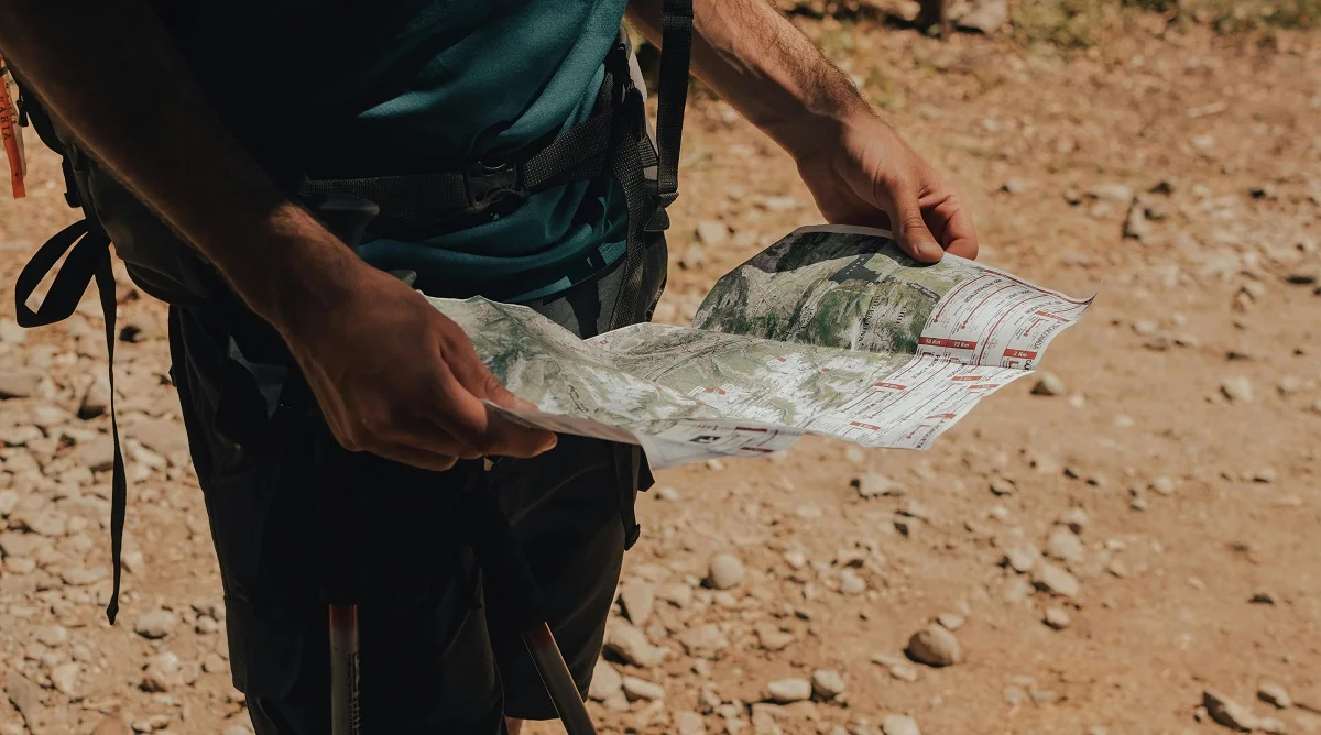
Credit: Ivan Stecko / Pexels
Frequently Asked Questions
Q: Why do trail maps feel confusing at first for beginners?
A: Many beginners expect the map to resemble the landscape directly. In reality, maps simplify the route into symbols, lines, and shapes, which takes practice to understand comfortably.
Q: What part of a trail map should hikers look at first?
A: Many hikers do best by starting with the trailhead, overall route shape, and major junctions. That broad view often helps more than trying to read every small symbol immediately.
Q: Are contour lines necessary for simple hikes?
A: They are often helpful because they show where steep sections may appear. Even on moderate routes, elevation details can explain why a trail may take longer or feel harder than expected.
Q: When should hikers check the map during a hike?
A: Brief checks before major turns, after large route changes, or at obvious landmarks often work well. This usually keeps the hiker oriented before confusion grows.